Earth & Environment
The Hormuz Strait: A Geological Story Written by Deep Time
A narrow marine passage shaped by ancient salt, a vanished ocean, rising mountains, changing sea levels, and the return of the sea.
Scope: This article examines physical geography and geology only. It intentionally excludes contemporary politics, commerce, military activity, and current affairs.
A strait is a naturally narrow waterway that joins two larger bodies of water. It can look simple on a map: land on either side, water in between. Geologically, however, a strait may be the visible result of an exceptionally long history of crustal movement, mountain building, erosion, subsidence, sediment accumulation, and changing sea level.
The Hormuz Strait is one such place. Its present waters connect the shallow Gulf with the Gulf of Oman and, beyond it, the Arabian Sea. Yet the seaway is only the most recent chapter. The deeper story begins more than half a billion years ago with evaporite deposits, continues through the opening and closure of an ancient ocean, and reaches its present form only after the end of the last Ice Age.
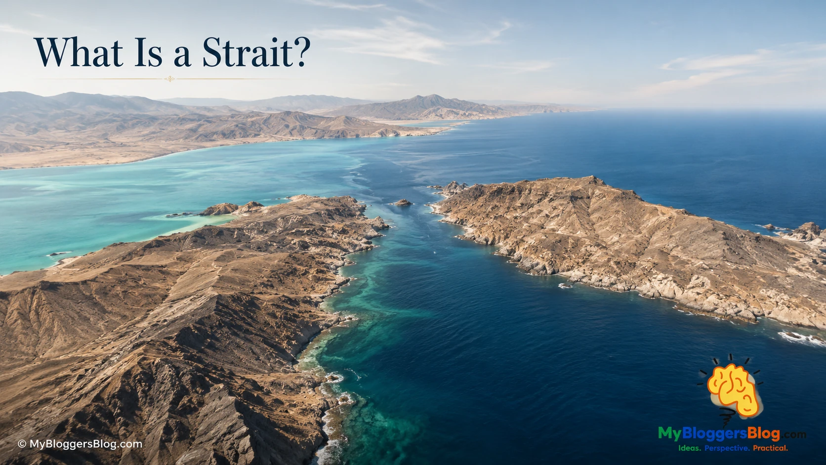
What Is a Strait?
A strait is not necessarily a crack abruptly torn through land. It can form where an existing low corridor becomes flooded, where coastal erosion narrows a land bridge, where tectonic movement creates a depression, or where shifting sea level reconnects basins that were once separated.
For geologists, a strait is valuable because it concentrates several processes in one small area. Currents move through a constricted route. Sediment is transported, sorted, eroded, and redeposited. Underwater ridges and deeper channels regulate the exchange between the basins on either side. The surrounding shorelines may preserve evidence of ancient seas, former river systems, windblown sediment, faults, uplift, or subsidence.
Geological point: A waterway can be young as a seaway but ancient in its foundations. The recognizable Hormuz Strait is geologically recent as a continuous marine passage, while the rock structure beneath and around it records many hundreds of millions of years of Earth history.
The Physical Setting: A Narrow Gateway Between Different Marine Worlds
The Hormuz Strait lies at the eastern outlet of the shallow Gulf. On its seaward side lies the deeper Gulf of Oman. This contrast matters. The inner basin is broad and comparatively shallow; the outer waters lead toward a much deeper marine realm. Between them lies a constricted gateway shaped by uneven bedrock, submerged ridges, channels, sediment, and the different geological histories of the land on either side.
The northern side belongs to a landscape dominated by folded and faulted sedimentary rock. The southern side is built largely from thick carbonate layers formed in warm, shallow seas long ago. These are not matching edges of a single clean break. They are components of a complex transition zone where several tectonic histories overlap.
That is why the strait is best understood as a prepared corridor. Long before the sea returned, tectonic deformation, salt movement, erosion, and subsidence had already created an irregular framework that made the later marine connection possible.
The Ancient Salt Foundation
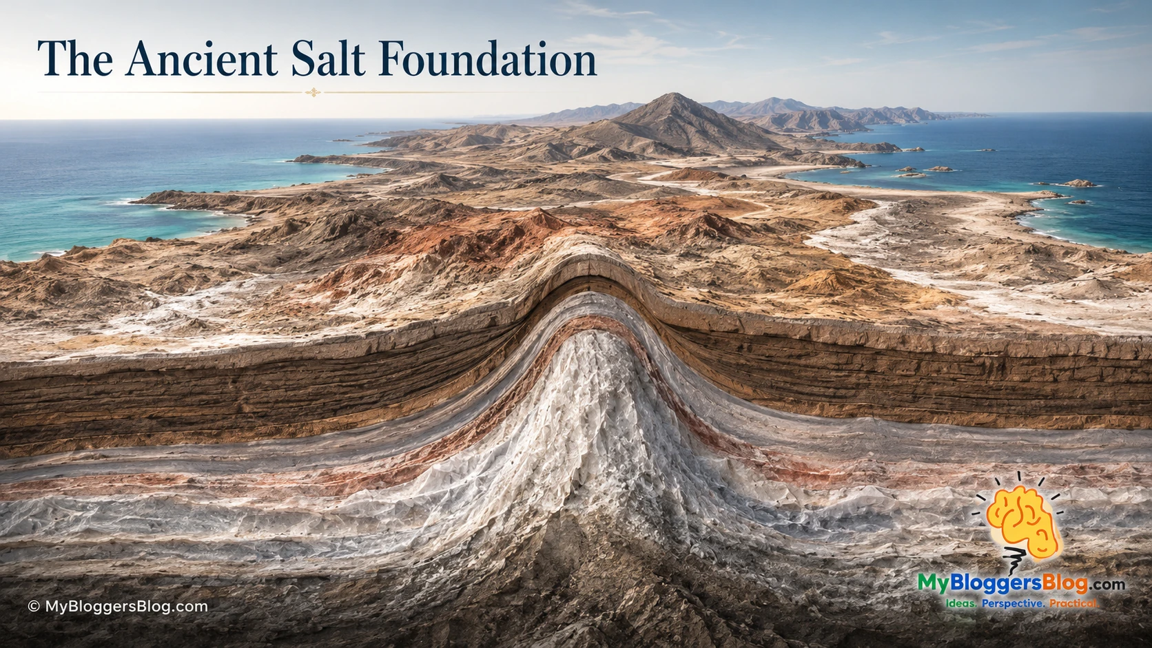
The oldest major ingredient in this story is salt. More than half a billion years ago, during the late Neoproterozoic and early Cambrian, restricted basins in the region repeatedly received seawater under conditions in which evaporation could outpace renewal. As water evaporated, dissolved minerals concentrated and crystallized into evaporites: chiefly halite, gypsum, and anhydrite, mixed with other sediments and volcanic material.
These deposits became the Hormuz salt sequence. Although salt seems rigid in a kitchen or a salt flat, deeply buried rock salt behaves differently. Under immense pressure it can deform ductilely and migrate very slowly. It is also less dense than much of the rock above it. Over geological time, these properties allow salt to rise through weaker zones, lifting, warping, and sometimes piercing younger rock layers.
The resulting structures are called salt domes or diapirs. They may carry older material upward, bend the strata around them, create local highs and depressions, alter drainage, and change the surface and seabed long after the original evaporating basin has vanished.
The salt did not form the strait on its own. But it helped make the region mechanically distinctive and structurally uneven. It remains one of the hidden forces that must be considered when explaining the passage’s landscape and seafloor.
An Ocean Opens
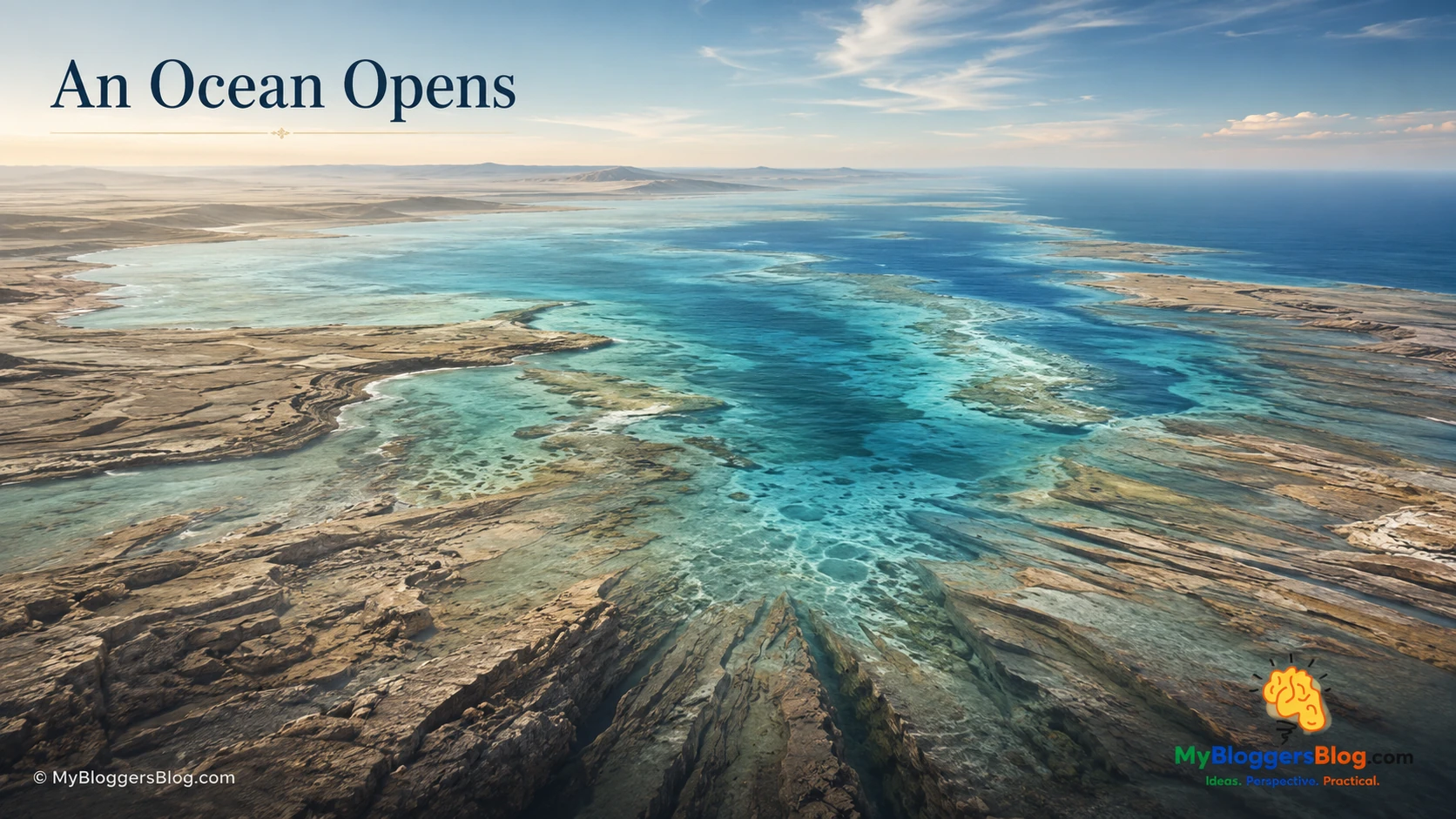
Much later, a new stage began. Continental crust in the broader region stretched and the Neo-Tethys Ocean opened. The edge of the continental landmass became a marine margin, and for a long interval the future strait region was not a narrow gateway at all. It was part of a wide shallow shelf beneath warm seas.
Those seas laid down great thicknesses of carbonate sediment. Lime-rich mud, shell fragments, and other marine material accumulated, hardened, and became limestone and dolomite. Rocks now found in high ridges and coastal mountains were once nearly horizontal layers at or below sea level.
This phase supplied another essential building block: a thick carbonate platform. It later became folded, faulted, tilted, eroded, and locally drowned. But its origin was quiet and marine, a reminder that some of the highest rocks in the region began as seafloor sediment.
Mountains Rise as an Ocean Closes
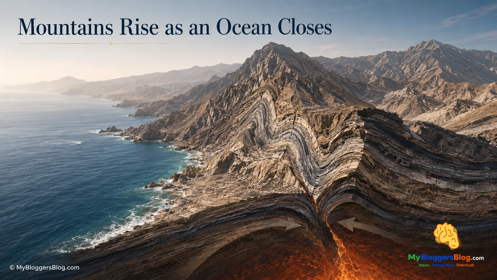
Oceans do not remain open forever. As tectonic plates changed direction and converged, the Neo-Tethys began to close. Oceanic crust was consumed at subduction zones, and in parts of the region large sheets of oceanic material were pushed onto the edge of the continent rather than simply disappearing beneath it.
These preserved fragments of former oceanic crust and upper mantle are called ophiolites. Their presence is a geological clue that deep-ocean material was once carried onto land. The process is called obduction.
During Late Cretaceous mountain building, the former continental shelf was compressed, shortened, thickened, and uplifted. Flat-lying carbonate layers became folds, faults, and thrust sheets. The growing mountain system also loaded the nearby crust, causing adjacent areas to bend downward. That flexure helped create a long-lived foreland basin in which sediment could collect.
The modern strait lies near the boundary between uplifted, deformed terrain and this broader subsiding basin. Its geography reflects the coexistence of both: mountains rising nearby, and lower ground able to receive sediment and, eventually, seawater.
A Tectonic Transition, Not a Simple Fracture
It is tempting to picture the Hormuz Strait as a single split where two pieces of land pulled apart. The geology does not support such a simple story. The passage lies near a structural bend and transition in which folds, faults, thrust systems, older basin structures, and salt-related deformation interact.
Some of the faults and weaknesses in the crust are older than the mountain building that later reactivated or overprinted them. Other changes came from compression. Salt rose through some weak zones. Erosion cut into land that was uplifted, while sediment accumulated in lower areas. The result was not one clean channel but a complicated architectural framework.
In tectonic language, such a structural knot may be described as a syntaxis: a place where the direction, geometry, or relationship of major mountain and fault systems changes. The word is useful here because it emphasizes complexity. No single fracture created the strait; many inherited features contributed to where the sea later found a route.
Salt Domes Reshape the Landscape
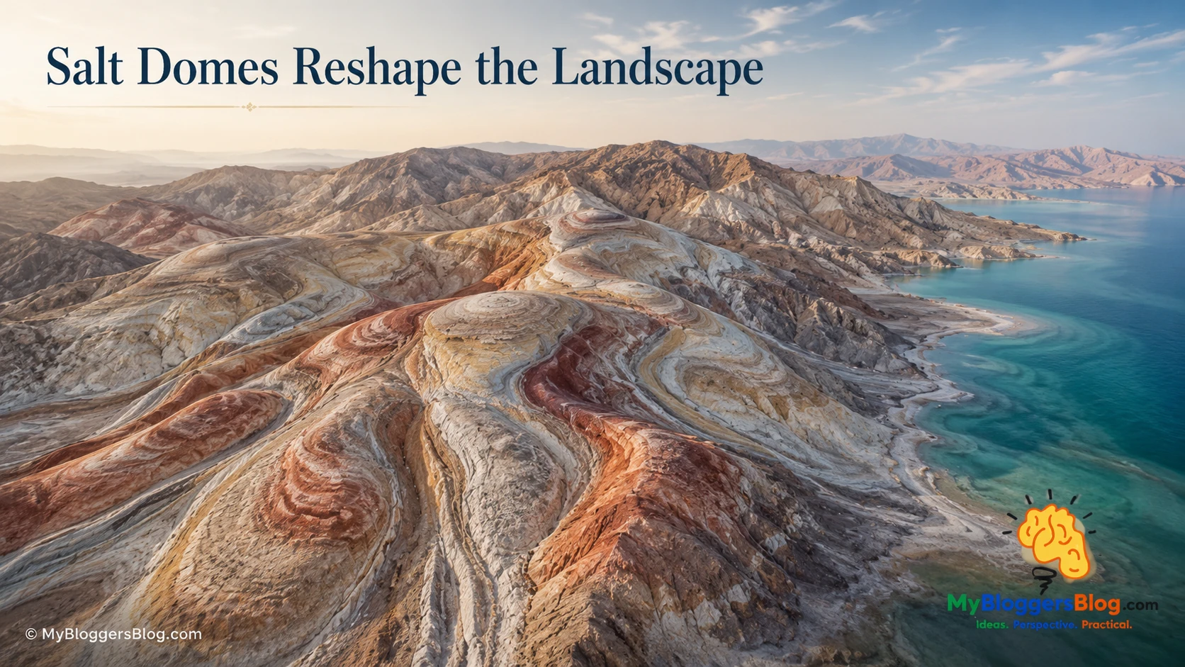
Salt is not a passive layer locked forever beneath the surface. Once buried beneath younger sediments, it can move slowly because of pressure, density contrast, tectonic compression, and changes in the load above it. This slow movement is known as halokinesis.
In and around the Hormuz region, salt movement has produced domes and diapirs containing rock salt, gypsum, anhydrite, clay, carbonate fragments, and iron-rich or volcanic material. Where the material reaches or approaches the surface, it can create unusually shaped hills, colorful mineral exposures, disrupted drainage, and local relief that does not resemble ordinary folded sedimentary terrain.
Salt movement can also influence the sediments deposited beside it. As salt rises, adjacent layers may thin, tilt, or bend. Where salt withdraws or migrates elsewhere, local ground may subside. These effects add another layer of complexity to a coastal region already being shaped by tectonic deformation and changing sea level.
The Last Ice Age: When Much of the Gulf Was Land
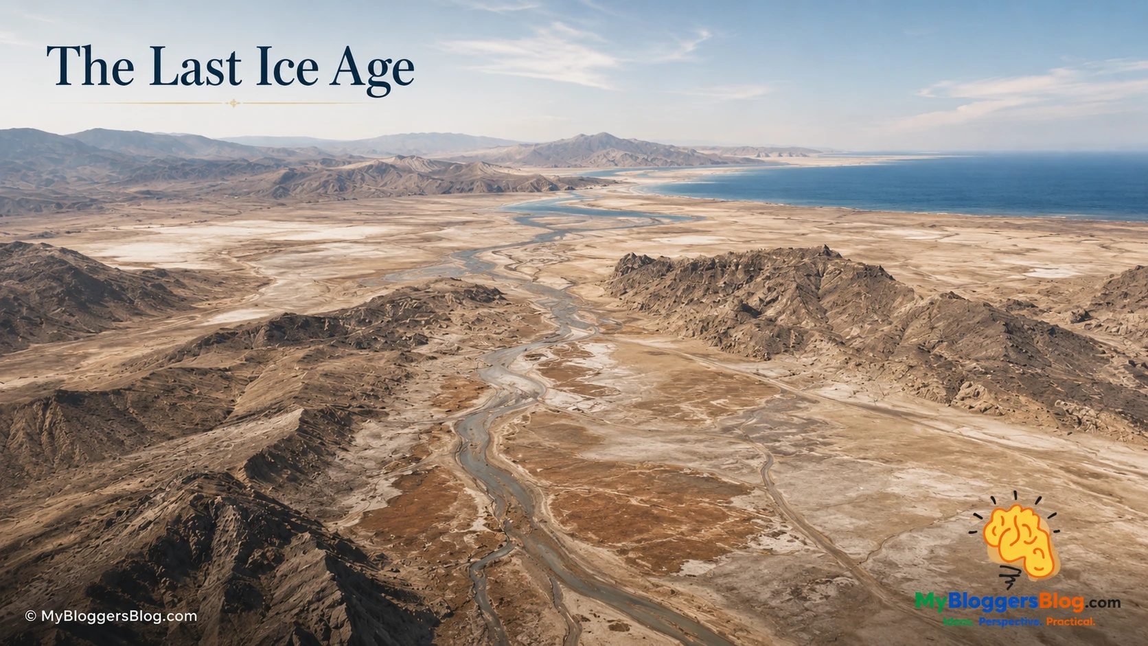
The last stage needed to create the recognizable marine strait was a change in global sea level. During the Last Glacial Maximum, roughly 20,000 years ago, vast quantities of water were locked in distant continental ice sheets. Global sea level stood more than 120 metres lower than it does today.
The local result was dramatic. Much of the shallow Gulf floor was exposed as land. Instead of a broad shallow sea, the basin contained lowlands, river channels, sediment plains, wind-shaped surfaces, and salt-rich ground. The coastline stood much farther seaward than it does now.
Important distinction: The Hormuz region itself was not blanketed by the great Ice Age glaciers. The ice sheets were far away. Their importance here was indirect: by storing huge volumes of water, they lowered global sea level and exposed much of the shallow basin.
The underlying tectonic architecture had not disappeared. The salt structures, folded mountains, carbonate ridges, low corridors, and uneven seabed foundation were already there. What was different was the amount of water available to occupy the landscape.
A Warmer Earth Made the Modern Passage
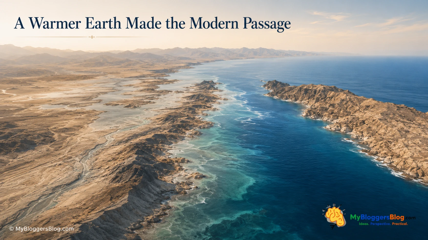
As the last Ice Age ended, global climate warmed, land ice melted, and sea level rose. The sea did not burst through in a single moment. It advanced gradually across lower ground, filled valleys, crossed shallow thresholds, reworked exposed sediment, and flooded the irregular landscape prepared by much older tectonic processes.
Reconstructed shorelines indicate that the Gulf was still largely free of marine influence until about 14,000 years ago. By then, the Hormuz Strait had opened as a narrow waterway. Around 12,500 years ago, seawater began moving into the central basin. The present seaway is therefore a comparatively recent marine expression of an ancient crustal framework.
Once the connection was established, the strait began functioning as a filter between contrasting water bodies. Its submerged thresholds, troughs, currents, salinity differences, and surrounding arid landscapes shaped the transport of sediment and water. Coastlines continued to migrate, while tidal flats, carbonate deposits, mud, sand, and coastal barriers developed across the reflooded basin.
The Deep Future
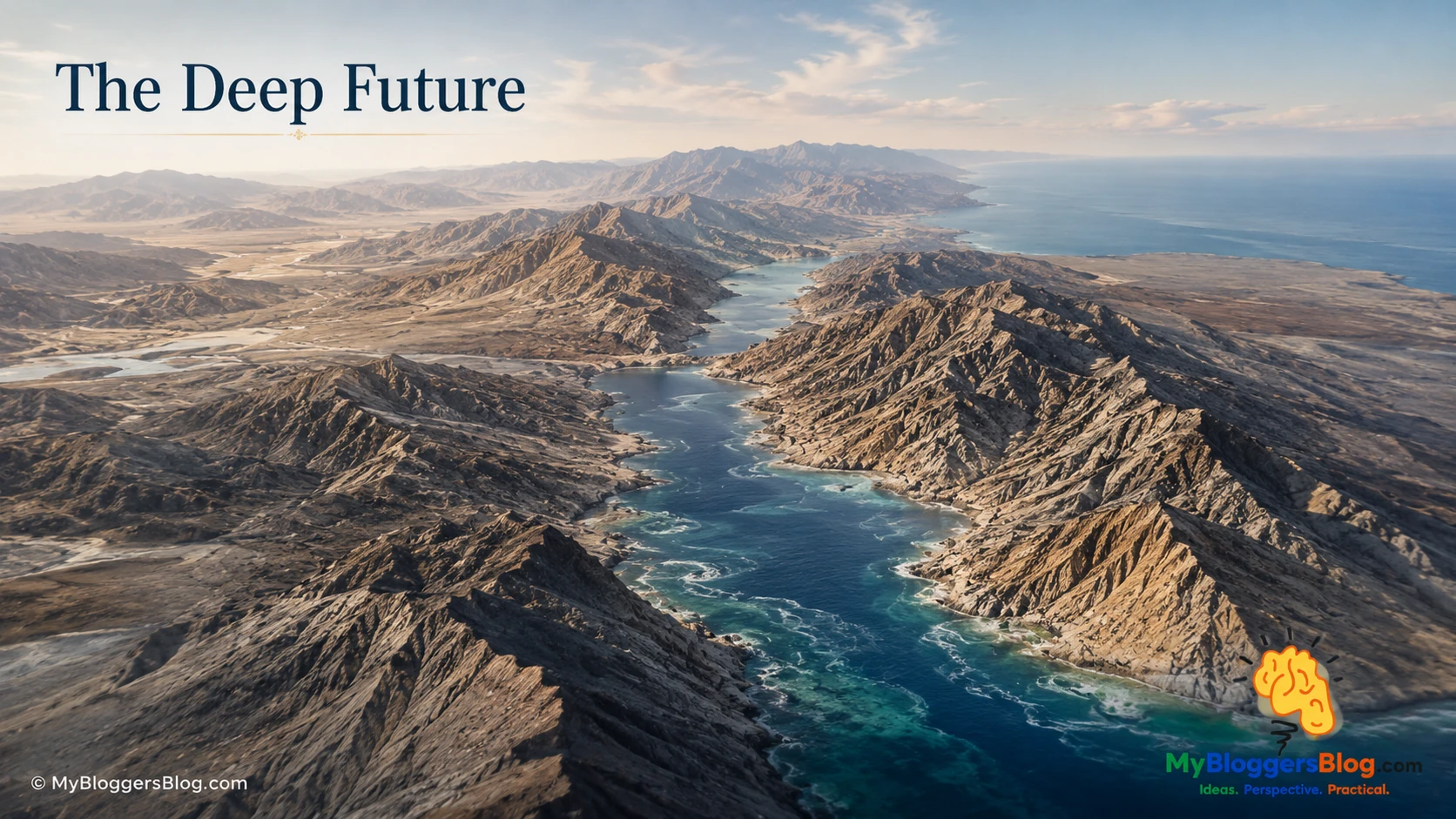
The future cannot be reduced to one fixed map. The processes affecting the strait operate at very different speeds. Waves, currents, and sediment can alter shallow margins in years or centuries. Coastlines respond to changing sea level over thousands of years. Climate cycles influence ice volume over tens of thousands of years. Tectonic deformation and salt movement reshape the region over millions of years.
Over the Next 10,000 Years
The basic bedrock framework is unlikely to be transformed beyond recognition. Shorelines may shift, shallow banks may migrate, sediment may collect in protected areas, and erosion will continue to rework exposed terrain. Beneath the surface, compression, fault movement, and slow salt migration will continue, usually too gradually to be noticed within a human lifetime.
Over the Next 100,000 Years
The larger uncertainty is sea level. Earth’s recent geological history includes repeated glacial and interglacial cycles influenced by orbital changes, ice sheets, oceans, and atmospheric composition. Precise timing cannot be predicted responsibly. But if a future glacial period again stores enough water in continental ice sheets to lower global sea level by more than a hundred metres, much of the shallow Gulf could once more become exposed land.
Under such a scenario, the present strait could become narrower, fragment into shallow channels and enclosed basins, or lose its broad marine connection. The exact outcome would depend on local thresholds, tectonic uplift or subsidence, sediment buildup, and the amount and duration of sea-level fall.
Over a Few Million Years
On million-year timescales, tectonics becomes impossible to ignore. Mountain belts will continue to rise, fold, fault, and erode. Sediment removed from high ground will accumulate in adjacent basins. Salt may keep migrating, lifting some areas and contributing to local subsidence elsewhere. The passage may narrow, shift, acquire a new pattern of islands and channels, or be replaced by a different arrangement of land and water.
What should not be claimed is certainty that the strait will close, widen, or remain unchanged. Deep-time geography is the outcome of a continuing competition between tectonic pressure, salt movement, weathering, erosion, sedimentation, and the rise and fall of the sea.
Key Geological Terms
- StraitA narrow natural waterway connecting two larger bodies of water.
- EvaporiteA mineral deposit formed when evaporation concentrates dissolved minerals in water. Halite, gypsum, and anhydrite are common evaporites.
- HaliteThe mineral form of rock salt.
- DiapirA body of mobile material, commonly salt, that rises through denser rock above it.
- HalokinesisSlow geological movement of salt beneath or at the surface.
- OphioliteA fragment of former oceanic crust and upper mantle preserved on land.
- ObductionThe emplacement of oceanic crust onto continental crust.
- Foreland basinA broad depression beside a mountain belt, formed as the weight of the mountains bends nearby crust downward.
- Marine transgressionThe inland advance of seawater across land, usually caused by rising sea level or local subsidence.
- SillAn underwater ridge or threshold that can influence water and sediment movement through a passage.
- SyntaxisA structural knot or bend where mountain belts, faults, or tectonic trends change direction or interact.
Sources and Research Basis
This article is an original synthesis written for MyBloggersBlog.com. The sources below were selected for geological and physical-geography background. They support the general chronology and concepts discussed here; they are not presented as a substitute for specialist geological mapping or site-specific research.
- National Geographic Education, “Strait.” General geographic definition and formation context.
- NASA Earth Observatory, “Iran’s Rainbow Island.” Salt domes, evaporites, and the ductile behavior of halite under pressure.
- Journal of the Geological Society, “Salt extrusion kinematics: insights from existing data.” Late Neoproterozoic–Early Cambrian Hormuz salt and long-lived salt tectonics.
- Searle, Cherry, Ali & Cooper, “Tectonics of the Musandam Peninsula and northern Oman Mountains: From ophiolite obduction to continental collision.” Regional tectonic setting, carbonate margin, ophiolite emplacement, and subsequent deformation.
- Ezati Asl et al., “Style and timing of salt movement in the Persian Gulf basin, offshore Iran.” Halokinetic sequences and episodic salt movement.
- Lambeck, “Shoreline reconstructions for the Persian Gulf since the Last Glacial Maximum.” Post-glacial flooding sequence, including the opening of the strait as a narrow waterway around 14,000 years ago.
- U.S. Geological Survey, Last Glacial Maximum sea-level comparison. Broad context for the lower global sea level of the last glacial maximum.
- NASA Science, “Milankovitch (Orbital) Cycles and Their Role in Earth’s Climate.” Long-term orbital influences on glacial–interglacial climate cycles.
Visual note: The eight section images are original editorial illustrations created for this article. They are intended to visualize geological concepts and are not field photographs, maps, or scale drawings.